This test is run by .
Note that your final mark will not be saved in the system.
Note that your final mark will not be saved in the system.
Why do river landscapes in the UK vary, and what are the processes shaping them? Pindrop
Target Level
4-5
Running Total
0
0%
Attempt
1 of 3
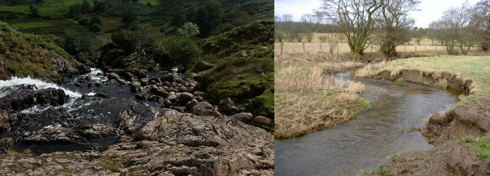
Click on a top label, then click on its correct position on the diagram. Or, drag a top label and drop it onto the correct position. Position all the labels before clicking ‘Check’.
Shallow pool
Narrow stream
Slip-off slope
River cliff
Line of fastest flow
Large boulders
Slumping / erosion
Steep sides
Deposit of gravel
Waterfalls
Exposed bedrock
